
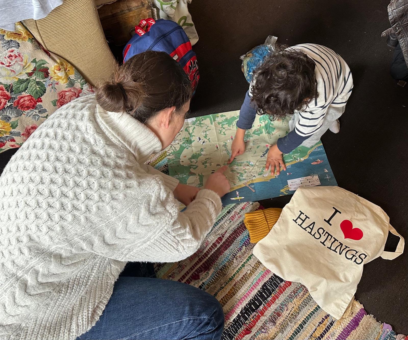
One of my favourite design tools is mapping.
Mapping design can help to reveal data patterns and identify leverage points within a system. It can visually bring a system or geographical activities to life.
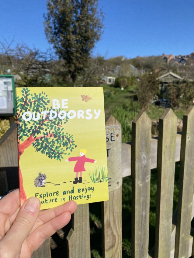

I worked with the Community Nature Connections team at Hastings Voluntary Action to produce a greenpaces map. This project has brought to life the land-based projects in Hastings Borough Council.
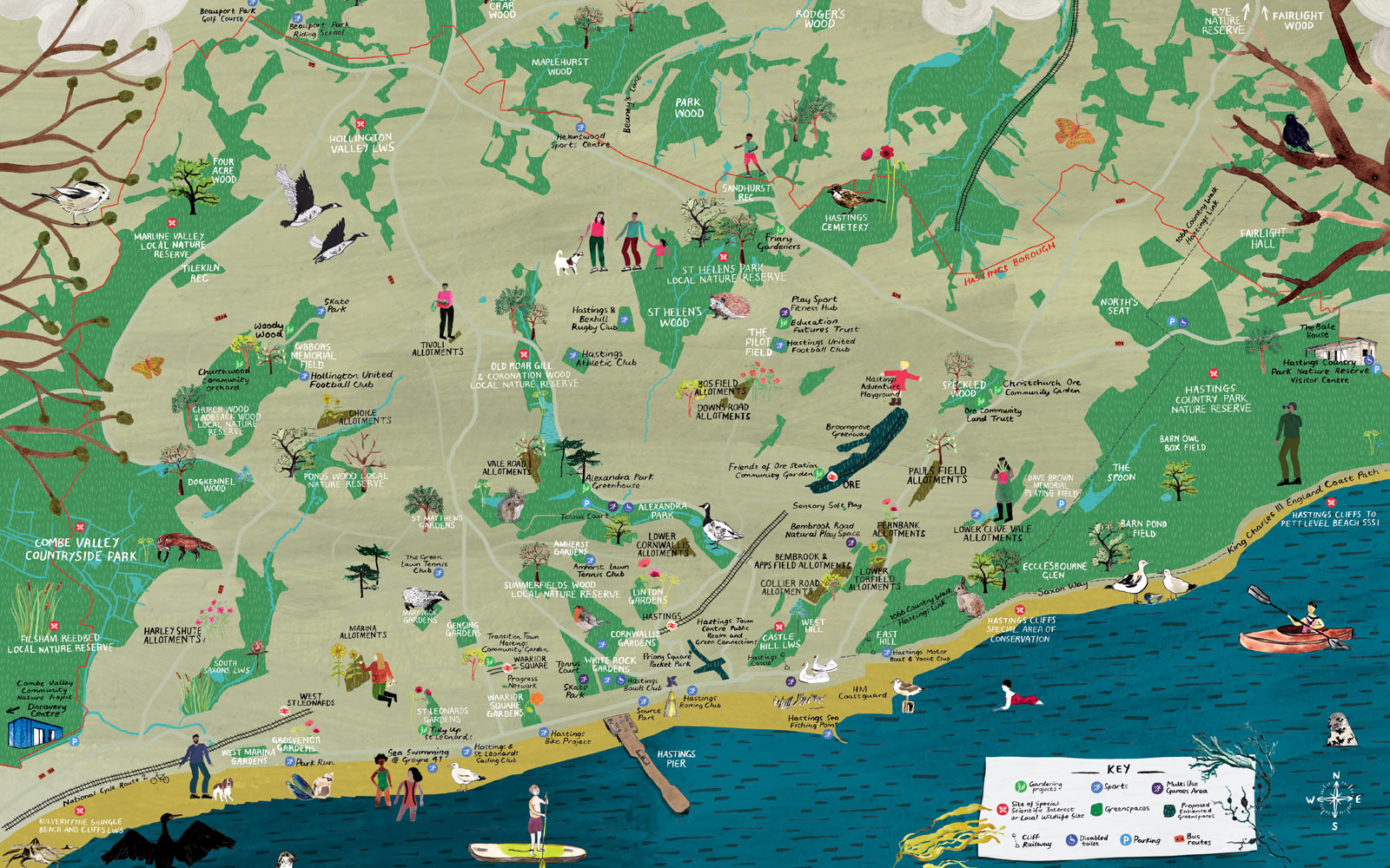
A particular aim of the map was to promote projects working on nature connection, growing, stewardship and biodiversity. Many of these projects need volunteer support to remain active.
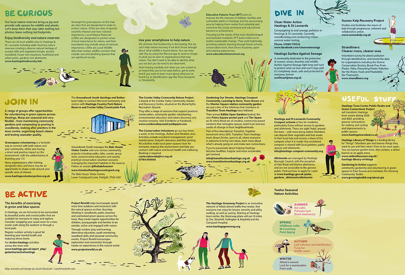
I used hand-drawn illustrations to create a sense of the outdoors. The guide on the reverse provides information about how to get involved in projects across the borough.